Wednesday, November 17, 2010

Malakoff Interstate Fellowship Ride


I registered for last year event but didn't make it due to matrimonial harmony.  This year, I registered and start preparing for the ride.

What's the deal?
Day 1, 31 December 2010, will take cyclists around Penang Island passing through roads that allow you to look at Penang from a very different angle. There has been many round island rides but none can compare to this! This 67km route will leave you beaming with pride and bragging rights after completing it.
Day 2, 1 January 2011, will take you through 171km of rustic kampung charm. The road is flat with minor climbs and best of all it is shaded almost 80% of the route. With 3 feeding stops thrown in, it is definitely a doable ride for cyclists of all levels.
from http://www.kotrt.com.my/fellowship_main.html

So.. what's the plan?
Within this 5 weeks or so: -
1. Some flat and long distance return trip like Kuala Selangor.
2. Some hilly and not so long distance return trip like Bentong.
3. Daily dose of roller (I'm still trying to exceed 30 minutes mark).

Now go get some rest, it's Eid tomorrow!

Monday, November 8, 2010

I cycled to Teluk Intan

Last Friday we balik kampung. The next day, my father asked me to ride with him to Teluk Intan.  It is about 20km from our kampung. The last time I tried, I only managed half the way there and we turned back.  This time around I want to give it a try.

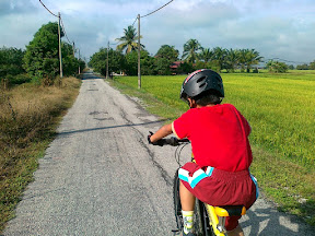
We started at about 9:00am.  We passed through numerous paddy fields and palm oil plantations.  It was enjoyable ride until I started to feel hungry.  My father told me that it was only few more kilometers.

Me going strong

A long way to go

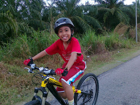
I started smiling when my father told me that we are about to reach Teluk Intan. I started to feel even hungrier but managed to put up a smile on the following photo.

See how big is my smile

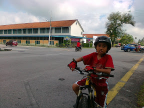
Soon we reached the town and stopped for a shot in front of my mother's school.

Sekolah Menengah Convent Teluk Intan

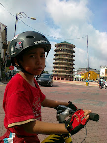
Then we headed to leaning tower before proceeded for a food.

The leaning tower. I'm going to use this for my Facebook profile's photo

I had a mee rebus at Mastan Ghani

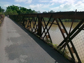
The bridge that we crossed. This was used to be a railway bridge.

The rest of the photos is here

I retraced Sports Tracker tracklog on Google Maps for safety reason.


View Langkap to Teluk Intan in a larger map


Statistics
Start: 9:00am
Duration: 2h 11m (moving time only)
Distance: 37.54km
Speed Average: 17.1 km/h
Max Speed: 28 km/h


P.S. : This wasn't my own article. My father wrote it himself. Well, he did asked me to write an article for this ride.

Tuesday, November 2, 2010

Rich Dad, Poor Dad. An analysis by John T. Reed

This is not so new thing.  I haven't read Rich Dad, Poor Dad either.  I stumbled into this from Malaysia-Finance Blogspot.

Summary

Rich Dad, Poor Dad is one of the dumbest financial advice books I have ever read. It contains many factual errors and numerous extremely unlikely accounts of events that supposedly occurred.

Kiyosaki is a salesman and a motivational speaker. He has no financial expertise and won’t disclose his supposed real estate or other investment success.

Rich Dad, Poor Dad contains much wrong advice, much bad advice, some dangerous advice, and virtually no good advice.


The whole analysis.

Forget Endomondo, go for Sports Tracker

I wrote on Endomondo, training software on Nokia Series 60 (Symbian OS) that uses GPS receiver on the phone and plot our workout.  After giving it a try on the newer version of Sports Tracker (the older one is by Nokia, the new one isn't), I give a thumb up on the following: -

1. It tracks reasonably.  I preset it to only records on move above 5km/h as this will cut out those waiting time (on phone)
2. It plot to Google Maps (on PC)
3. It will keep your workout diary for comparison (on phone & PC)
4. It accepts Polar Heart Rate Transmitter connection via bluetooth.  This is what I'm referring to. (Endomondo don't have this. And obviously on phone, who would ride a bike with a PC attached?)
5. It let you upload photos taken during the ride and attach to those training log. Even geotagged it on the map! (Endomondo don't have this)
6. It can upload in real time or opt for offline mode.  I normally upload it much later after the ride.

Check out the screenshot below to get the clearer picture on the features.

Burung Hantu Jamboree 2010, Air Keroh, Melaka.